Chinese researchers have revealed new data collected by the Zhurong spacecraft on the surface of Mars. These indicate the presence of polygonal structures buried underground that testify to a turning point in the planet’s climate history.
Although the Chinese rover’s mission ended more than a year ago, the data obtained from Zhurong on Mars still speaks loudly. Analysis of images beneath the surface of Utopia Planitia revealed strange polygonal patterns at a depth of about 35 metres.
© Zhang et al. 2023, Natural Astronomy, CC by 4.0 Bond
A diagram explaining the formation of polygons by alternating freezing and thawing in water-filled soil (a). In (d) the current situation.
Images of paleosols buried beneath the surface of Mars.
This data is the result of on-site geo-radar measurements and complements the data provided by ESA and Tianwen Mars Express investigations-1 (China) was recovered from orbit. Satellites have already observed polygonal shapes in various places on the vast plain on Martian soil. Zhurong’s data allow for a more detailed analysis of these structures and help in understanding their origin.
Study authors in Nature Astronomy Journal The publication believes that these polygons formed between 3.7 and 2.9 billion years ago, perhaps at the end of an earlier wet period. So what Zurong envisioned would be a Martian palaeosol that would mark a turning point in the history of the Red Planet.
The cycle of freezing and thawing of ice at a turning point in the history of the climate of Mars
According to the researchers, these polygonal shapes are the result of thermal contraction of water-bearing soil during periods of freezing and thawing. The resulting cracks will then fill with ice or sediment. Sublimation of the ice as a result of the gradual dehydration of the planet and the disappearance of its atmosphere left deep grooves between the polygons, which were later filled with dust and sand. These ancient marks can be seen on geographic radar data, extending to a depth of about ten metres.
These structures thus bear witness to significant paleoclimatic change about 3 billion years ago, especially to hydrological and climatic change in the low to mid-latitudes of Mars.
Editorial: Futura, by Morgan Gillard.
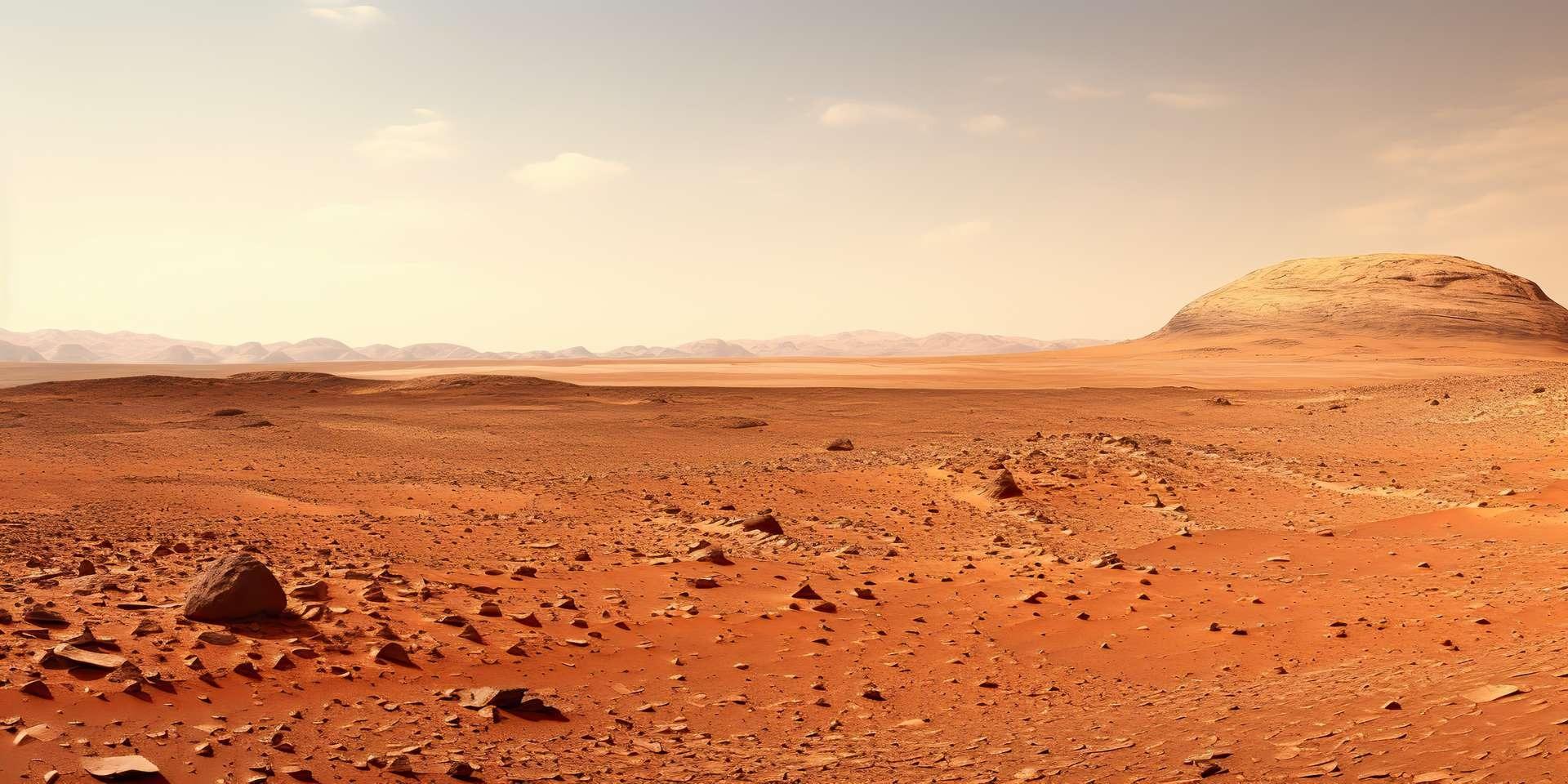
Cover image: © Graphic Warrior, Adobe Stock – New data from the Zhurong rover shows climate change on Mars (AI generated image)
2. Figure: © Zhang et al. 2023, Natural Astronomy, CC by 4.0 Bond
A diagram explaining the formation of polygons by alternating freezing and thawing in water-filled soil (a). In (d) the current situation.

“Social media evangelist. Baconaholic. Devoted reader. Twitter scholar. Avid coffee trailblazer.”


More Stories
The setup tool brings Geforce Now to the Steam Deck
The new 140mm fans are a never-ending story
Audio Emoji: Google offers clapping and farting sounds for calls 👏💨